

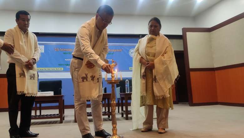
A one-day workshop on “GIS (Geographic Information System) Technology Vision on State Natural Management” was held on Tuesday at Sangai Hall, Hotel Imphal, Imphal East. It was organised by Manipur Remote Sensing Applications Centre (MARSAC).
Attending the function as chief guest, additional chief secretary of Planning, V Vumlunmang said that geographical topography of Manipur is prone to natural disaster. From this viewpoint, it is the need of hour to understand and get benefit of GIS technology before taking up any developmental projects, he added.
Manipur recently witnessed a catastrophic landslide at Tupul where many lives were lost. Besides, frequent drought and flood like situations have been occurring in the state as an impact of climate change. Hence, the changing scenario of society driven by climate change and ecological imbalance also demands the necessity of GIS Technology, he added.
While stating the need for coordination and collaboration of all line departments to address natural disaster and its after effect, he said that the ultimate impacts of natural disaster are usually faced by the poorest of the poor. The effort of every concerned official and employee is accountable to keep people of state safe from any kind of eventuality, he stated.
Presenting his keynote address, director of MARSAC, O Nodiachand Singh said that the main objective of organising the workshop is to share the outputs generated from GIS technology analysis on landslides, earthquakes and floods that occurred in the previous.
The survey report would be highly beneficial for planners, decision makers and administrators while taking up any sustainable management and planning. Apart from this, GIS technology will also help to develop effective and accurate methods for prevention, preparedness and relief measures, he added.
Remote sensing and GIS technology have a strong essence to provide solution to all types of disasters. If the findings of the survey carried out by them are noted deeply before taking up any developmental activities, the problem of natural disaster can be mitigated, he added.
Other dignitaries who attended the function were director of Relief and Disaster Management, KG Daigong and director of Planning, N Kulkarani Devi as president and guest of honour respectively.