

A discussion on the Indo-Myanmar border pillar issue on Sunday highlighted the reported inconsistency of available data concerning the geographical area of Manipur and raised a question on whether the people should remain satisfied with the present area of 22,327 square km.
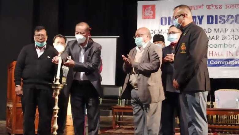
The matter was raised at the one-day discourse on the Formation of Road Map and Solution of Indo-Myanmar Border Issue organised by the United Committee of Manipur (UCM) at the JN Dance Academy auditorium hall on Sunday.
The discourse resolved to form a fact-finding committee of the Indo-Myanmar border issue to collect data and documents for moving ahead in solving the issue.
It was pointed out that the area of Manipur was 22,347 sq km in the census of Manipur from 1901 to 1951 and changed to 22,356 sq km in 1971. At present, the geographical area has been shrunk to 22,327 sq km but there is reportedly no record on how it got altered.
During the discourse, freelancer of advanced geodetic and geographic information systems, Manichandra Sanoujam gave a presentation on the discrepancies in the geographical area of Manipur, on assessment.
He pointed out that in 1814, the area was 2,5,000 sq km and in 1859 it was 1,31,000 sq km. It was reduced to 22,356 sq km in 1971, he said. Now, the present area is estimated to be 22,327 sq km, he mentioned. It should be verified with statistical survey and update, Manichandra said.
He said that the formal boundary delimitation and demarcation were carried out on maps and an instrument of ratification was signed on May 30, 1967, at New Delhi between India and Myanmar. The official geographical area of 22, 356 sq km should be from that of the first edition of the Survey of India (SOI) map, 1971. “But how the present official geographical area changed into 22, 327 sq km,” he questioned.
The boundary of Manipur from the confluence of Dzuko river with Barak river (Tousem subdivision) to the confluence of Barak river with Magui Ki near Jampi village of Tousem, is the midline of the Barak river, he said. However, in the SOI (first edition 1975) it is drawn on the eastern side of the river, which shows that Barak river of the stretch does not belong to Manipur, he said.
“The average width of the Barak river in the stretch is about 100m. So, an area of 2.5 sq km (approx) will be reduced after 1975,” Manichandra said. Fortunately, the first edition of the SOI map, 2010 shows the corrected boundary of Manipur marked along the centre of Barak river, he added.
Concerning border pillars, he said that pillar no 6, 7, 8 are not marked in the SOI Topo Sheet. In the 1976 SOI map, 7.91 centimeters were found encroached on the Manipur side while estimating the geographical area of the state, he added.
He said that the area will be 22, 378, 87 plus 7.91 means 22, 286.78/ 22, 388 sq km. So, the present official geographical area of Manipur should be considered as 22, 388 sq km instead of 22, 327 sq km, he added.
Retired MCS Hareshwor Goshwami explained the historically related boundary, fencing and frontier map of Manipur. Shifting of border pillars has been found at the Manipur side and areas have changed at the side of Tuivai, Tumu (Moreh), Choro, Holenphai, Kwatha Khunou (Waksu), he said.
He further suggested putting an immediate halt to the ongoing border pillar fencing and stressed on the need to form a fact-finding committee to survey the data and documents.
Retired IAS, A Tombikanta (former DC, Tengnoupal) shared that he took a team of SOI to visit the pillar side and saw that border pillar number 83 was shifted to the Manipur side. He strongly objected to the agreement between SOI and Myanmar and denied signing the agreement. He suggested conducting a survey and submitting a report to the UN.
As resource persons, Centre for Myanmar Studies, MU N Bobby; senior advocate of High Court of Manipur Irom Lalit; National Forum for People's Rights, coordinator Kh Gojendro talked on the issue.
UCM president Joychandra Konthoujam as a president of the discourse and a retired professor of the department of History, MU N Joykumar as a moderator attended the discourse.
UCM secretary of organisation, Nahakpam Santa and secretary of community affairs, UCM Alan Puna Dangmei also attended the event.